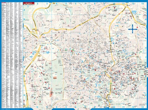
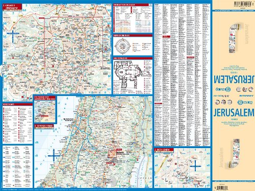
Laminated Jersusalem City Street Map by Borch (English Edition)
Amazon.es Price: 9.95€ (as of 01/01/2017 16:27 PST- Details) Product prices and availability are accurate as of the date/time indicated and are subject to change. Any price and availability information displayed on [relevant Amazon Site(s), as applicable] at the time of purchase will apply to the purchase of this product.
Comparte esto:
- Haz clic para compartir en Facebook (Se abre en una ventana nueva)
- Haz clic para compartir en Twitter (Se abre en una ventana nueva)
- Haz clic para compartir en Pinterest (Se abre en una ventana nueva)
- Haz clic para compartir en WhatsApp (Se abre en una ventana nueva)
- Más
- Haz clic para imprimir (Se abre en una ventana nueva)
- Haz clic para compartir en Reddit (Se abre en una ventana nueva)
- Haz clic para compartir en Tumblr (Se abre en una ventana nueva)
- Haz clic para compartir en Pocket (Se abre en una ventana nueva)
- Haz clic para compartir en Telegram (Se abre en una ventana nueva)
- Haz clic para enviar un enlace por correo electrónico a un amigo (Se abre en una ventana nueva)
Descripción
Folded street and travel map in color. Scale 1:8,000. Legend includes sights, museums, monuments, churches, synagogues, mosques, monasteries, archaeological sites, castles, ruins, caves, beaches, bus stations, gas stations, youth hostels, airports, airfields, nature reserves, camping sites, viewpoints, hotels, markets. Includes inset map of Bethlehem (1:11,000), Greater Jerusalem (1:30,000), Central Israel (1:400,000), Dome of the Rock and Holy Sepulchre. Climate charts show the average daily temperatures, humidity, hours of sunshine and precipitation for each month.Suscríbete a la web por correo electrónico
¡Si no te quieres perder nuestras actualizaciones deja que te avisemos por correo electrónico! Introduce tu correo electrónico para suscribirte a este blog y recibir avisos de nuevas entradas.
| Producto Brand | |
|---|---|
| Producto Edition | |
| Producto ISBN | |
| Producto Label | |
| Producto Manufacturer | |
| Producto Publication Date | |
| Producto Publisher |
Este sitio usa Akismet para reducir el spam. Aprende cómo se procesan los datos de tus comentarios.
Productos relacionados
-
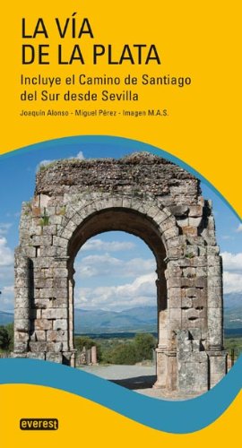
La Vía de la Plata.: Incluye el Camino de Santiago del Sur desde Sevilla (Guias Del Viajero)
0 de 5Amazon.es Price: 24.95€ (as of 28/01/2017 13:56 PST- Details) & FREE Shipping. DetailsComprarProduct prices and availability are accurate as of the date/time indicated and are subject to change. Any price and availability information displayed on [relevant Amazon Site(s), as applicable] at the time of purchase will apply to the purchase of this product.
-
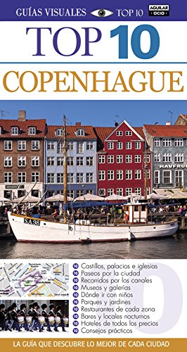
Copenhague (TOP 10)
0 de 5Amazon.es Price: 12.95€ (as of 28/01/2017 13:56 PST- Details) & FREE Shipping. DetailsComprarProduct prices and availability are accurate as of the date/time indicated and are subject to change. Any price and availability information displayed on [relevant Amazon Site(s), as applicable] at the time of purchase will apply to the purchase of this product.
-
¡Oferta!

El río de la luz: Un viaje por Alaska y Canadá (BEST SELLER)
0 de 5Amazon.es Price:9.95€El precio original era: 9.95€.9.45€El precio actual es: 9.45€. (as of 28/01/2017 13:54 PST- Details) & FREE Shipping. DetailsComprarProduct prices and availability are accurate as of the date/time indicated and are subject to change. Any price and availability information displayed on [relevant Amazon Site(s), as applicable] at the time of purchase will apply to the purchase of this product.
-
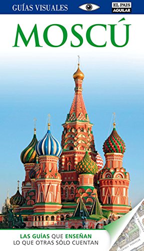
Moscú (Guías Visuales) (GUIAS VISUALES)
0 de 5Amazon.es Price: 30.50€ (as of 28/01/2017 13:54 PST- Details)ComprarProduct prices and availability are accurate as of the date/time indicated and are subject to change. Any price and availability information displayed on [relevant Amazon Site(s), as applicable] at the time of purchase will apply to the purchase of this product.



Valoraciones
No hay valoraciones aún.